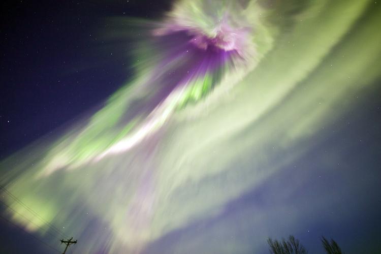
Labor Day weekend may bring a treat for northern lights chasers as several agencies are forecasting a high likelihood of Lady Aurora making an appearance.
Chances are particularly strong Sunday and Monday nights, according to forecasts from the Geophysical Institute at University of Alaska Fairbanks.
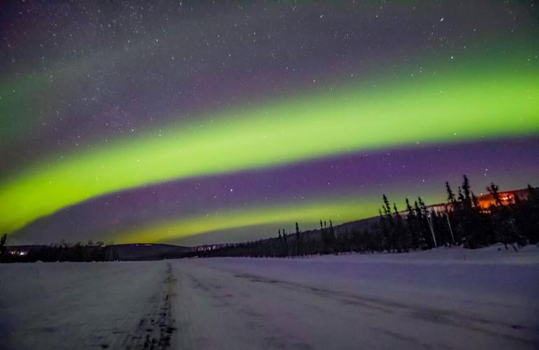
Saturday’s forecast calls Saturday’s auroral activity “moderate,” weather permitting.
“Moderate displays will be visible overhead from Utqiagvik [Barrow] to as far south as Talkeetna and visible low on the horizon as far south as Bethel, Soldotna and southeast Alaska,” the forecast states.
Weather permitting is the key phrase, according to National Weather Service meteorologist Scott Berg.
“It looks like there’s going to be slim pickings this weekend,” Berg said. “We do see some possible breaks as you go north on the Dalton toward Coldfoot or Northeast on the Steese toward Circle.”
Berg said most of Saturday, Sunday and Monday’s weather patterns will be “cloudy or mostly cloudy,” with some isolated showers thrown in.
The best advice, he added, would be that aurora chasers “would have to be outside to see when and if those [cloud] breaks occur.”
Sunday’s forecast could see “highly active auroral displays ... visible overhead from Utqiagvik to as far south as Kodiak and King Salmon.” Similar activity is predicted again Monday.
Sunday’s activity has a Kp index of 6, and Monday has a Kp index of 5.
According to the Geophysical Institute, the Kp number system measures aurora strength. A Kp index of 1 is considered very weak, while Kp 9 “would represent a major geomagnetic storm with strong auroras visible.”
Anything Kp5 and above is classified as a geomagnetic storm.
Contact reporter Jack Barnwell at 907-459-7587 or jbarnwell@newsminer.com.